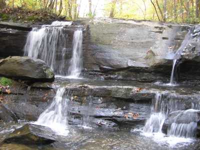
 also known as Alleghany Falls
| WGS84 | |
| 35.602500 | -84.038100 |
| 35° 36.15'N | 84° 2.286'W |
| 35° 36' 9"N | 84° 2' 17.2"W |
| 16S 768321E 3943901N | |
| convert to NAD27 | |
MAPS
Select one of the following maps to display this waypoint (WGS84).
GPS
Remarks:
Reference: Kevin Baker
also known as Alleghany Falls
Garner's 1890 black & white photo