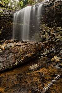
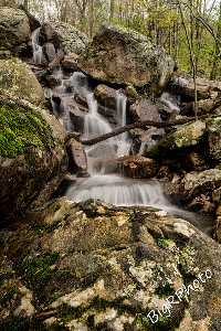
 1000' downsteam, 25' lower falls
| WGS84 | |
| 35.572181 | -85.145202 |
| 35° 34.331'N | 85° 8.712'W |
| 35° 34' 19.9"N | 85° 8' 42.7"W |
| 16S 668076E 3938082N | |
| convert to NAD27 | |
MAPS
Select one of the following maps to display this waypoint (WGS84).
GPS
Remarks:
Reference and photos: Ronnie Phipps
1000' downsteam, 25' lower falls