 Photo by Gregory Plumb, Author of
Waterfalls of Tennessee
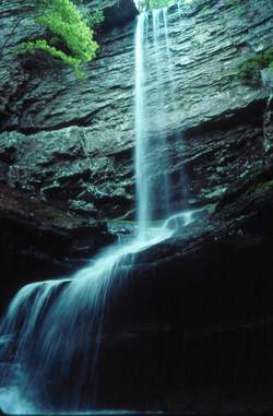
Photo by Gregory Plumb, Author of
Waterfalls of Tennessee
| WGS84 | |
| 35.519720 | -85.177780 |
| 35° 31.183'N | 85° 10.667'W |
| 35° 31' 11"N | 85° 10' 40"W |
| 16S 665232E 3932207N | |
| convert to NAD27 | |
MAPS
Select one of the following maps to display this waypoint (WGS84).
GPS
Remarks:
Photo by Gregory Plumb, Author of
Waterfalls of Tennessee