Tennessee Landforms -- arches and natural bridges| WGS84 |
| 36.107300 | -84.334300 |
| 36° 6.438'N | 84° 20.058'W |
| 36° 6' 26.3"N | 84° 20' 3.5"W |
| 16S 739954E 3999141N |
| convert to NAD27 |
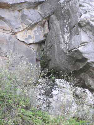
Windrock Window 3x3
Waypoint: ANA005 36.107300,-84.334300
County: Anderson landforms of Anderson county
Locale: private
NABSQNO 16S-739954-3999141
popup list of
nearby landforms (mileage, bearing)
MAPS
Select one of the following maps to display this waypoint (WGS84).
GPS
Remarks:
An obstructed rock window in the breakdown of the caprock.
Access fee required to Windrock trails.
Tennessee landforms
home
arches
waterfalls
rocks
peaks
balds
sinks
lakes
regions
county
GSMNP landforms (TN/NC)
BSF landforms (TN/KY)
or nearby
lookout towers
 ©
Tom Dunigan
©
Tom Dunigan