| WGS84 | |
| 35.608200 | -83.466810 |
| 35° 36.492'N | 83° 28.009'W |
| 35° 36' 29.5"N | 83° 28' 0.5"W |
| 17S 276555E 3943295N | |
| convert to NAD27 | |
MAPS
Select one of the following maps to display this waypoint (WGS84).
GPS
Remarks:
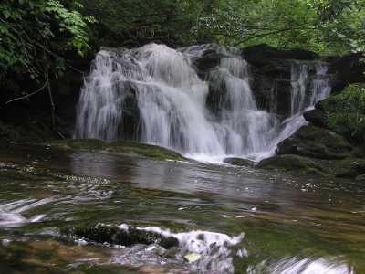
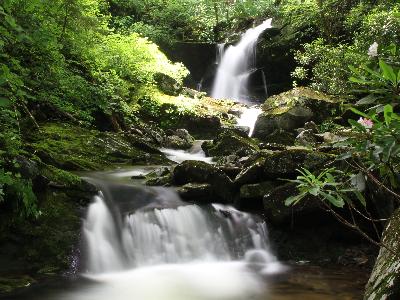
off-trail wade.
 Upper Falls 28' at
35.607362,-83.466337 courtesy fo David Sands and Mike Gourley
Upper Falls 28' at
35.607362,-83.466337 courtesy fo David Sands and Mike Gourley
 AT shelters
BSF landforms (TN/KY)
AT shelters
BSF landforms (TN/KY)