| WGS84 | |
| 35.622000 | -83.469600 |
| 35° 37.32'N | 83° 28.176'W |
| 35° 37' 19.2"N | 83° 28' 10.6"W |
| 17S 276341E 3944832N | |
| convert to NAD27 | |
MAPS
Select one of the following maps to display this waypoint (WGS84).
GPS
Remarks:
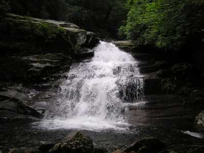
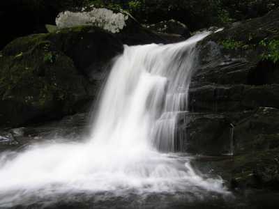
There are several falls along Road Prong. ( trail info)
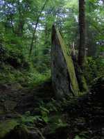
Just after crossing the creek is Standing Rock.
Also see Dutch Roth's 1932 black&white
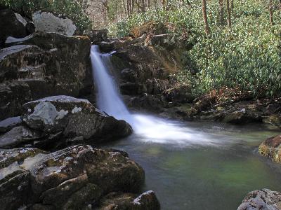 Upper Trickling Falls 15' at
35.619922299,-83.470425094 courtesy Mike Gourley
Upper Trickling Falls 15' at
35.619922299,-83.470425094 courtesy Mike Gourley
 AT shelters
BSF landforms (TN/KY)
AT shelters
BSF landforms (TN/KY)