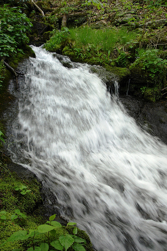
 along manway (1949 map), yellowhammer's photo
| WGS84 | |
| 35.594190 | -83.355030 |
| 35° 35.651'N | 83° 21.302'W |
| 35° 35' 39.1"N | 83° 21' 18.1"W |
| 17S 286645E 3941493N | |
| convert to NAD27 | |
MAPS
Select one of the following maps to display this waypoint (WGS84).
GPS
Remarks:
along manway (1949 map), yellowhammer's photo
 AT shelters
BSF landforms (TN/KY)
AT shelters
BSF landforms (TN/KY)