| WGS84 | |
| 35.531980 | -83.274800 |
| 35° 31.919'N | 83° 16.488'W |
| 35° 31' 55.1"N | 83° 16' 29.3"W |
| 17S 293755E 3934420N | |
| convert to NAD27 | |
MAPS
Select one of the following maps to display this waypoint (WGS84).
GPS
Remarks:
On Cherokee reservation,
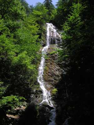
 The 20' falls above the main falls.
 AT shelters
BSF landforms (TN/KY)
AT shelters
BSF landforms (TN/KY)