| WGS84 | |
| 35.544265 | -83.507362 |
| 35° 32.656'N | 83° 30.442'W |
| 35° 32' 39.4"N | 83° 30' 26.5"W |
| 17S 272701E 3936295N | |
| convert to NAD27 | |
MAPS
Select one of the following maps to display this waypoint (WGS84).
GPS
Remarks:
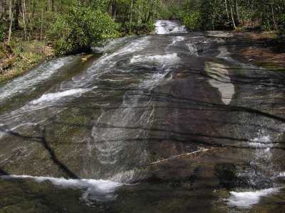
Also known as Rock Slab Falls.
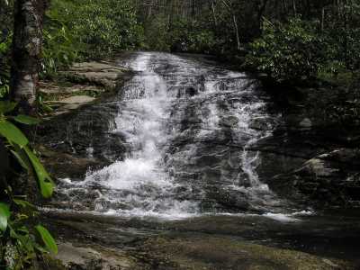
 17' fall about 100 yds downstream
 AT shelters
BSF landforms (TN/KY)
AT shelters
BSF landforms (TN/KY)