| WGS84 | |
| 35.665200 | -83.719000 |
| 35° 39.912'N | 83° 43.14'W |
| 35° 39' 54.7"N | 83° 43' 8.4"W |
| 17S 253882E 3950222N | |
| convert to NAD27 | |
MAPS
Select one of the following maps to display this waypoint (WGS84).
GPS
Remarks:
Reference: Bill Stowell
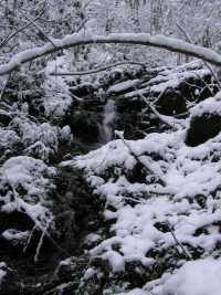
off-trail, wet-weather cascade
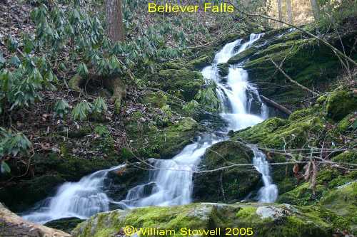 photo courtesy of Bill Stowell
 AT shelters
BSF landforms (TN/KY)
AT shelters
BSF landforms (TN/KY)