Tennessee Landforms Google map
right click to add draggable markers iPhone map
marker:
Enter street,city,state or zip code or lat,-lon (dd.ddd)
(for lat/lon or UTM or NAD27 use this)
Distance buttons:
click on map to make a track (right-click to add draggable markers)
this button will popup a window from which you can save the track as a
file.gpx for uploading to your GPS.
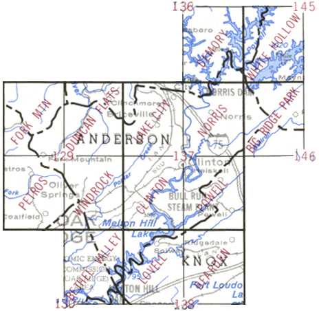
Anderson County sinkholes
The map above shows the location of 600+ sinkholes (black map pin) on the USGS topo quads
for Anderson County.
Using the terrain or topo layers of the google map, you can see that
the sinkholes lie along the valley and ridge section of Anderson County.
By contrast the Cumberland Mountains lie in
the northwest section of the county with sandstone and coal seams in the
3000' high range.
The digital analysis
of the USGS DEM data for Anderson County shows
there are 239 sinkholes of depth 3m or more (red circles).
The deepest sinkhole
(68') in Anderson County is at 36.147386,-84.109287
(paste into Find box on google map).
This sinkhole also has the largest volume and area for the county.
If you have explored Anderson County, you know there are many more sinkholes
that the USGS topo/DEM data does not record.
For example in the Norris watershed,
the Eli Nine Sinkholes trail passes by 9 sinkholes, only one of which
shows on the topo map.
Though USGS mistakes are rare, there is NOT a sinkhole at
36.009696,-84.30096.
google map
showing both visual sinkholes (black pin) and 3m+ sinkholes (red circle)