NOAA weather near waypoint
or
wunderground
NOAA weather near waypoint
or
wunderground
| WGS84 | |
| 36.385400 | -84.649000 |
| 36° 23.124'N | 84° 38.94'W |
| 36° 23' 7.4"N | 84° 38' 56.4"W |
| 16S 710872E 4029264N | |
| convert to NAD27 | |
MAPS
Select one of the following maps to display this waypoint (WGS84).
NOAA weather near waypoint
or
wunderground
GPS
Remarks:
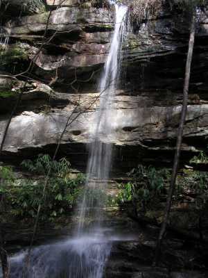
Wet-weather falls along Burnt Mill Loop Trail