NOAA weather near waypoint
or
wunderground
NOAA weather near waypoint
or
wunderground
| WGS84 | |
| 36.579927 | -84.668380 |
| 36° 34.796'N | 84° 40.103'W |
| 36° 34' 47.8"N | 84° 40' 6.2"W |
| 16S 708611E 4050804N | |
| Location uncertain. | |
| convert to NAD27 | |
MAPS
Select one of the following maps to display this waypoint (WGS84).
NOAA weather near waypoint
or
wunderground
GPS
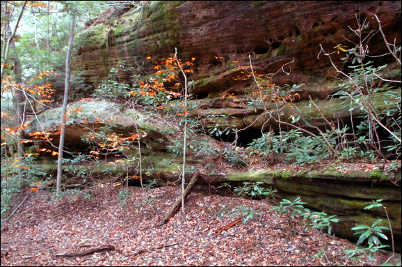
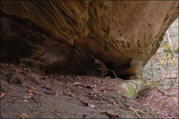
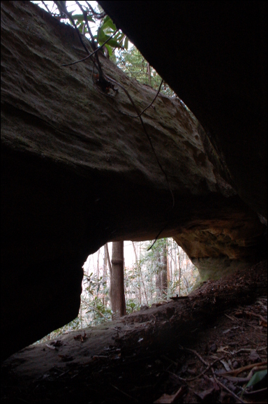
Remarks:
Reference and photos: Fife brothers
Two main openings one right behind the other,
both measuring about 19'. multiple openings behind the back arch