NOAA weather near waypoint
or
wunderground
NOAA weather near waypoint
or
wunderground
| WGS84 | |
| 36.564600 | -84.653560 |
| 36° 33.876'N | 84° 39.214'W |
| 36° 33' 52.6"N | 84° 39' 12.8"W |
| 16S 709979E 4049136N | |
| convert to NAD27 | |
MAPS
Select one of the following maps to display this waypoint (WGS84).
NOAA weather near waypoint
or
wunderground
GPS
Remarks:
Along the same bluff line as Stepup arch and Lookup Arch. off-trail
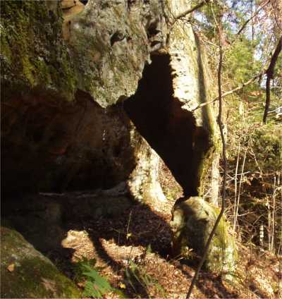
Some small column arches nearby.