 NOAA weather near waypoint
or
wunderground
NOAA weather near waypoint
or
wunderground
| WGS84 | |
| 36.541800 | -84.735770 |
| 36° 32.508'N | 84° 44.146'W |
| 36° 32' 30.5"N | 84° 44' 8.8"W |
| 16S 702680E 4046430N | |
| convert to NAD27 | |
MAPS
Select one of the following maps to display this waypoint (WGS84).
NOAA weather near waypoint
or
wunderground
GPS
Remarks:
References: JNAD:TENN-18,19, C/P:29-32, WAD:44.3,44.6
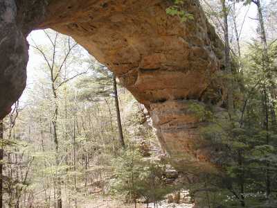
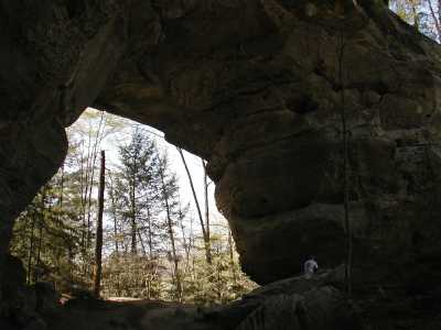
North and South arches.
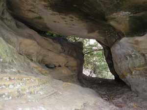 Stepchild arch under the steps between
north and south arch(ref team Fife).
Stepchild arch under the steps between
north and south arch(ref team Fife).
 another photo courtesy of Keith Garnes
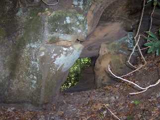
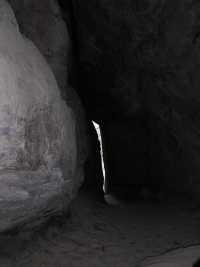 south arch tunnel
TN natural area
Twin arches loop hike