 NOAA weather near waypoint
or
wunderground
NOAA weather near waypoint
or
wunderground
| WGS84 | |
| 36.769905 | -84.535689 |
| 36° 46.194'N | 84° 32.141'W |
| 36° 46' 11.6"N | 84° 32' 8.5"W |
| 16S 719943E 4072180N | |
| convert to NAD27 | |
MAPS
Select one of the following maps to display this waypoint (WGS84).
NOAA weather near waypoint
or
wunderground
GPS
Remarks:
Reference and photo: Chad Harrold
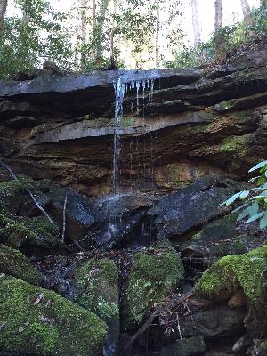 wet-weather