 NOAA weather near waypoint
or
wunderground
NOAA weather near waypoint
or
wunderground
| WGS84 | |
| 36.771934 | -84.528791 |
| 36° 46.316'N | 84° 31.727'W |
| 36° 46' 19"N | 84° 31' 43.6"W |
| 16S 720553E 4072421N | |
| convert to NAD27 | |
MAPS
Select one of the following maps to display this waypoint (WGS84).
NOAA weather near waypoint
or
wunderground
GPS
Remarks:
Reference and photo: Chad Harrold
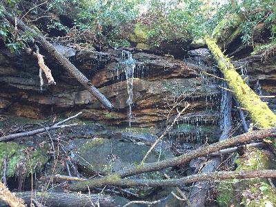 wet-weather