 NOAA weather near waypoint
or
wunderground
NOAA weather near waypoint
or
wunderground
| WGS84 | |
| 36.655100 | -84.547120 |
| 36° 39.306'N | 84° 32.827'W |
| 36° 39' 18.4"N | 84° 32' 49.6"W |
| 16S 719249E 4059415N | |
| convert to NAD27 | |
MAPS
Select one of the following maps to display this waypoint (WGS84).
NOAA weather near waypoint
or
wunderground
GPS
Remarks:
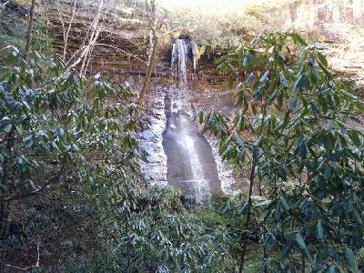 Chad Harrold photo