NOAA weather near waypoint
or
wunderground
NOAA weather near waypoint
or
wunderground
| WGS84 | |
| 36.473750 | -84.841060 |
| 36° 28.425'N | 84° 50.464'W |
| 36° 28' 25.5"N | 84° 50' 27.8"W |
| 16S 693423E 4038663N | |
| Location uncertain. | |
| convert to NAD27 | |
MAPS
Select one of the following maps to display this waypoint (WGS84).
NOAA weather near waypoint
or
wunderground
GPS
Remarks:
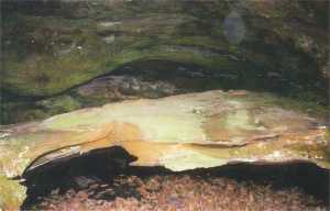
Reference/photo: Vic Fife
small arch in rock shelter at base of bluff along Laurel Fork, downstream from Incised Meander arch.