NOAA weather near waypoint
or
wunderground
NOAA weather near waypoint
or
wunderground
| WGS84 | |
| 36.518300 | -84.779300 |
| 36° 31.098'N | 84° 46.758'W |
| 36° 31' 5.9"N | 84° 46' 45.5"W |
| 16S 698843E 4043732N | |
| convert to NAD27 | |
MAPS
Select one of the following maps to display this waypoint (WGS84).
NOAA weather near waypoint
or
wunderground
GPS
Remarks:
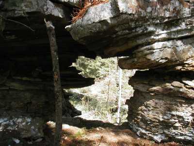
Reference: Manning,"100 trails of the BSF", pg 75.
The main arch is best viewed from the east side of the Ben Creek watershed. The arch is embedded on the point of the high bluff line. The smaller arch is just above the creek along the ridge line that takes you (off-trail) to the high arch, but the high arch is not visible from the base of the bluff.
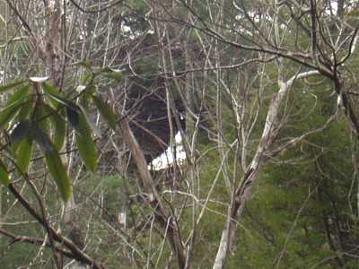
The picture below is of the smaller arch.