Appalachian Trail Shelters| WGS84 |
| 36.10506 | -82.12222 |
| 36° 6.304'N | 82° 7.333'W |
| 36° 6' 18.2"N | 82° 7' 20"W |
| 17S 398989E 3996184N |
| convert to NAD27 |
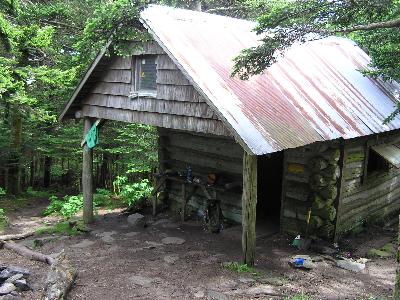
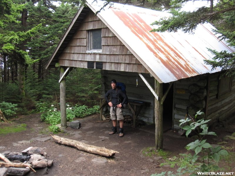
Roan High Knob Shelter 
Waypoint: RoanHigh 36.10506,-82.12222
County/State: Carter TN
Elevation: 6275' or USGS elevation
379.3 miles from Springer and 1818.1 miles to Katahdin
next shelter south ↓ 8.5 miles. next shelter north ↑ 5.2 miles. all shelters
popup list of
nearby shelters (mileage, bearing) (as the crow flies)
 NOAA weather near shelter
or
wunderground
NOAA weather near shelter
or
wunderground
MAPS
Select one of the following maps to display this waypoint (WGS84).

GPS
These maps, coordinates, and waypoint files are based on recent (2009)
Appalachian Trail
waypoints.
You can often find more information on a particular
shelter by visiting the AT
partners that maintains that section of trail.
For trail mileages between shelters go back to our
list of shelters.
AppalachianTrail.org has
the latest trail conditions, maps, and trail guides.
Additional information:
Notes: "Alt. 6285'; Highest shelter on AT, originally a fire warden's cabin, spring w/in"
USGS quad: CARVERS GAP
Δ elevation profile to next shelter north, cumulative climb/descent, (data provenance)
highest-elevation shelter on the AT, maintained by
TEHCC
and Wikipedia mountain info
and photos
and old
fire tower info
photo
AT shelters
GSMNP campsites
GSMNP landforms
BSF landforms
TN landforms
 ©
Tom Dunigan TNlandforms.US
©
Tom Dunigan TNlandforms.US